NEIGHBORHOOD GUIDE
Haverhill, Massachusetts
A River City on the Merrimack, 35 Miles North of Boston
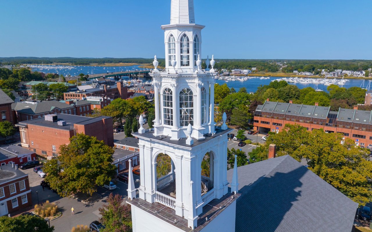
Haverhill is a city of roughly 67,000 people in Essex County, Massachusetts, built along the banks of the Merrimack River just minutes from the New Hampshire border. For most of the nineteenth and early twentieth centuries it was known as the “Queen Slipper City,” one of the largest shoe-manufacturing centers in the country — and the brick factories, worker housing, and Victorian mansions that industry left behind still define the city's character today. What makes Haverhill distinctive for homebuyers isn't any single neighborhood; it's the range packed into one municipality. A buyer can choose a converted loft above restaurant row downtown, a Victorian on a tree-lined street in the Highlands, a colonial in the quiet river village of Rocks Village, or a newer build up on the hill in Ward Hill — all inside the same school district and commuter rail line.
Haverhill at a Glance
Haverhill sits on the Merrimack River in Essex County, about 35 miles north of Boston and roughly 17 miles from the Atlantic coast. The city covers 35.7 square miles, including nearly 2.7 square miles of water, and its landscape carries the fingerprints of the last ice age — drumlins, kettle ponds, and glacial boulders show up throughout the city's parks and hillier neighborhoods, including Ayers Hill, the city's highest point at more than 335 feet. The Merrimack River physically divides the city, with the historic Bradford section on the south bank connected to the rest of Haverhill by a series of bridges.
Haverhill runs on a mayor–council form of government with a nine-member city council. It borders Groveland and Georgetown to the south and east, Plaistow and Atkinson, New Hampshire to the north, and sits within easy reach of Newburyport and the North Shore coast, the Lawrence–Andover corridor, and southern New Hampshire's Route 93 job centers.
QUICK FACTS
County | Essex County, Massachusetts |
Incorporated | 1641 (as Haverhill); Bradford annexed in 1897 |
Nickname | The Queen Slipper City |
Distance to Boston | About 35 miles |
Major highways | I-495; Routes 97, 108, 110, 113, and 125 |
Commuter rail | MBTA Haverhill Line — Haverhill & Bradford stations to North Station; Amtrak Downeaster service |
School district | Haverhill Public Schools |
Higher education | Northern Essex Community College; Northpoint Bible College |
Signature park | Winnekenni Park — ~700 acres, Kenoza Lake, Winnekenni Castle |
Neighboring communities | Groveland, Georgetown, Bradford, Newburyport area, and southern New Hampshire |
WHY BUYERS CHOOSE HAVERHILL Direct commuter rail access to Boston's North Station. Genuine neighborhood variety inside one city and one school system — urban lofts, Victorian streets, colonial river villages, and newer suburban-style construction. A real architectural legacy, from colonial-era houses and Victorian mansions to distinctive brick shoe-factory lofts found nowhere else in the region. An unusual amount of protected open space and lake access for a city this size, led by the 700-acre Winnekenni Park. A downtown that has been meaningfully reinvested in over the past two decades, with a walkable, riverfront restaurant and arts scene. A location that puts the North Shore coast, southern New Hampshire, and the Merrimack Valley job centers all within a short drive.
|
A Brief History
Haverhill was settled in 1640 by Puritan farmers from the Newbury Plantation and incorporated the following year. The area was first called Pentucket, an Indigenous word meaning “place of the winding river,” before being renamed for Haverhill, Suffolk, England — the birthplace of the settlement's first minister, Reverend John Ward. The land itself was purchased from the Pentucket people in 1642.
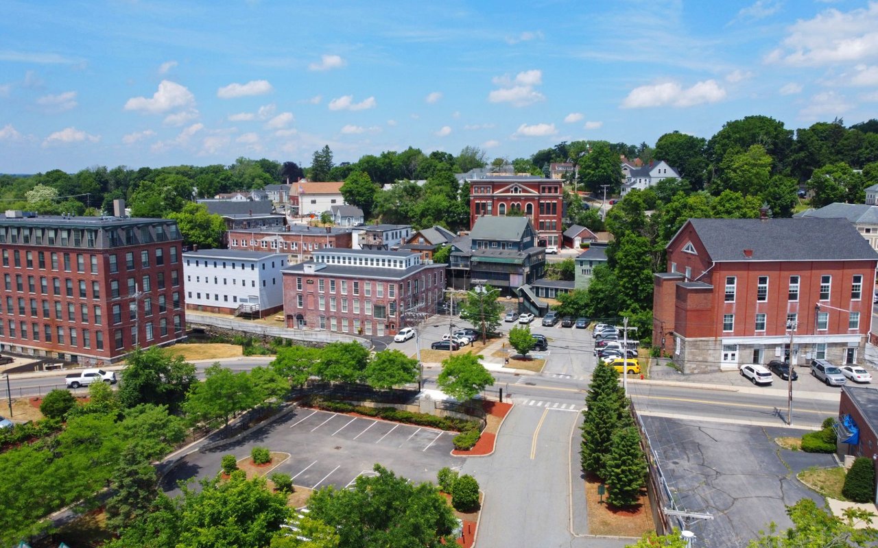
The city's identity was forged by water power and manufacturing. Early sawmills and gristmills gave way to woolen mills, tanneries, and shipbuilding, and by the second half of the 1800s Haverhill had become a national center of shoe production. At its peak around 1913, roughly one-tenth of all shoes made in the United States came out of Haverhill factories, earning the city its enduring nickname, the “Queen Slipper City.” The Washington Street Shoe District — two blocks of red-brick, Italianate-style factory buildings where more than sixty shoe manufacturers once operated — was listed on the National Register of Historic Places in 1976 and remains the architectural backbone of downtown.
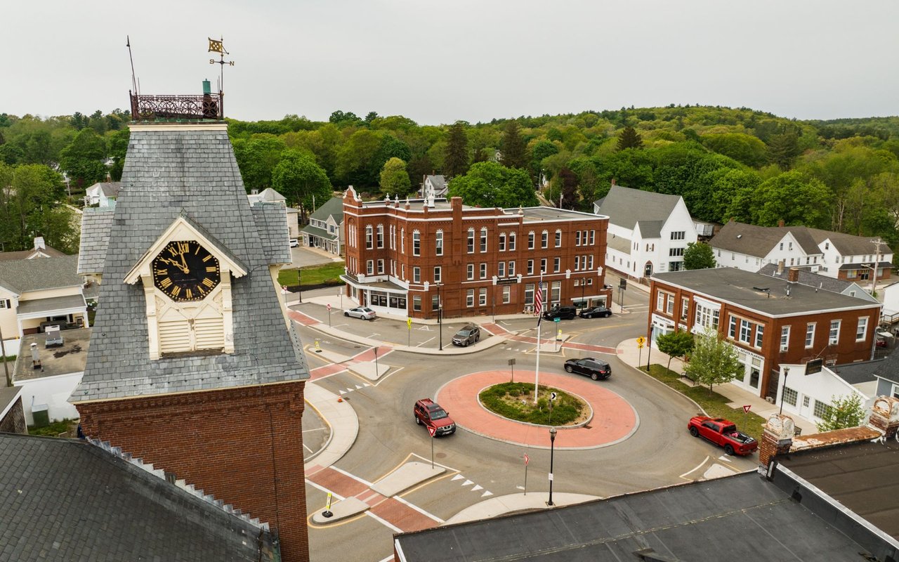
Haverhill has also produced an outsized share of well-known names: poet and abolitionist John Greenleaf Whittier, department-store founder Rowland H. Macy, MGM co-founder Louis B. Mayer, and Archie Comics co-creator Bob Montana all called Haverhill home. Hannah Duston, a colonial-era captive who escaped during King William's War, became the first woman in the United States honored with a statue, which stands today in Grand Army Republic Park. Bradford, on the south side of the river, was its own town until it was annexed into Haverhill in 1897. A major fire in 1882 destroyed roughly 300 businesses downtown, and the city rebuilt with the brick commercial blocks still visible on Main Street today. In more recent decades, an estimated $150 million in public and private investment has converted many of the old shoe factories into loft apartments, restaurants, and creative space, driving the ongoing revitalization of downtown.
Villages & Neighborhoods
Part of what makes Haverhill unusual is that it never fully lost the identity of the smaller villages that grew into it. Longtime residents still refer to these areas by name, and each has a noticeably different feel.
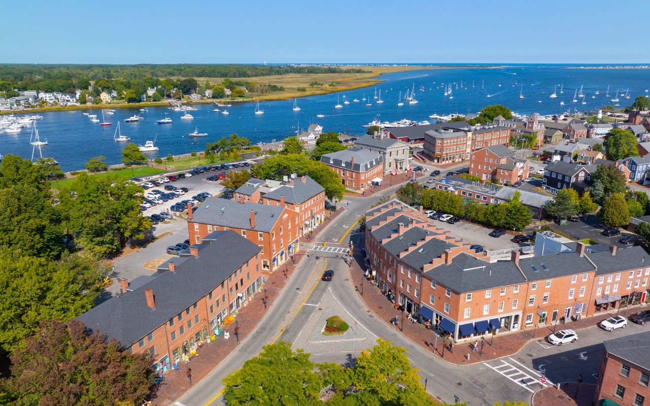
Downtown / Washington Street Shoe District — The historic commercial core along Merrimack and Washington Streets, where converted shoe factories now hold loft apartments, restaurants, and studio space. This is the most walkable, urban part of the city, anchored by the Merrimack River waterfront and boardwalk.
Bradford — An independent town until 1897, Bradford sits on the south bank of the Merrimack and still feels like its own community, with a historic common, its own MBTA commuter rail stop, and a quieter, more residential grain than downtown.
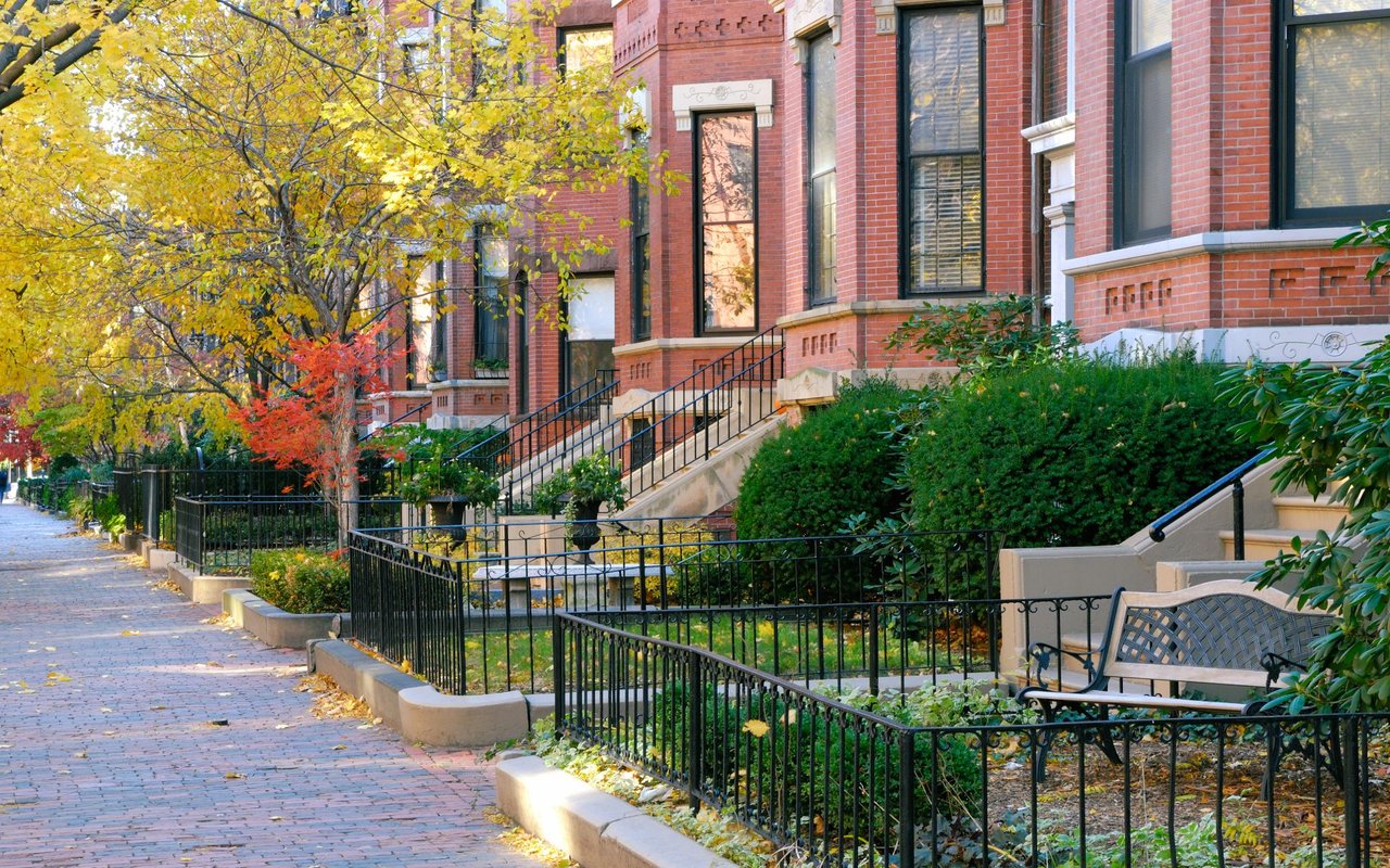
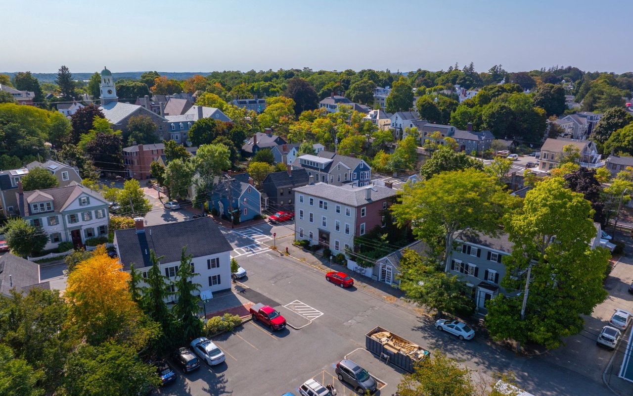
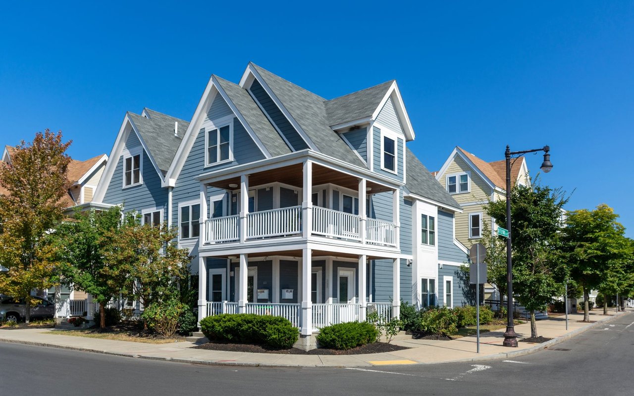
The Highlands — Immediately adjacent to downtown, the Highlands is Haverhill's showcase of Victorian-era architecture, built during the wealth generated by the shoe industry's boom years. Wide porches, mansard roofs, and turreted mansions line streets within easy walking distance of the city center.
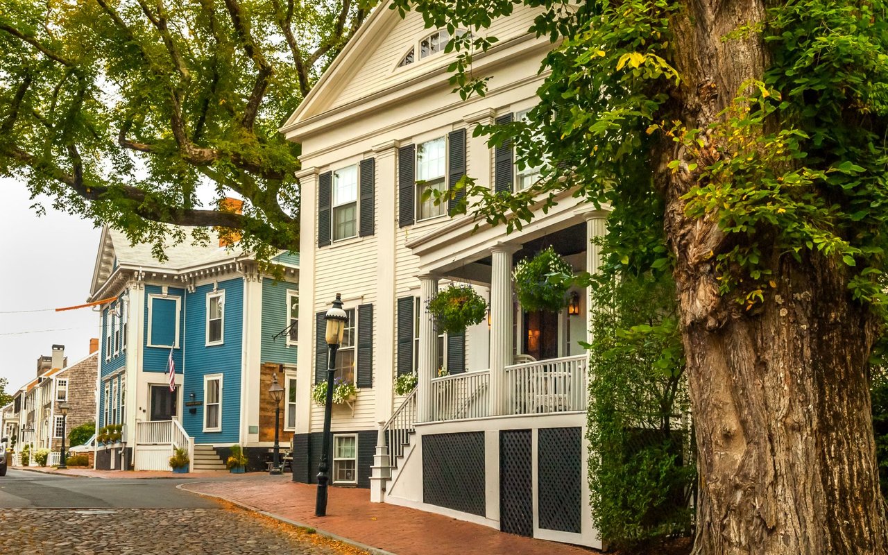
Rocks Village — A small, colonial-era river settlement on Haverhill's western edge, bordering West Newbury. Rocks Village grew up around a river crossing and later comb- and shoe-manufacturing workshops; today it's a designated historic district with a slower, small-village pace, distinct from the rest of the city.
Mount Washington & Riverside — Established residential neighborhoods with a mix of single-family homes, generally quieter and more suburban in feel than downtown or the Highlands.
Ayers Village & Ward Hill — The hillier, more suburban-scaled areas on Haverhill's outer edges, including Ayers Hill, the city's highest point. Ward Hill also includes newer residential construction alongside the city's industrial and business park land.
Architecture & Housing Styles
Haverhill's housing stock reflects nearly four centuries of building. A handful of true colonial-era structures survive, including the 1704 John Ward House and the 1691 Kimball Tavern. The Highlands and other streets near downtown are dense with Victorian-era single- and multi-family homes built during the manufacturing boom, while the city's civic buildings — including the 1889 City Hall and the 1898 Walnut Square School — showcase the more formal Beaux-Arts and institutional styles of that era.
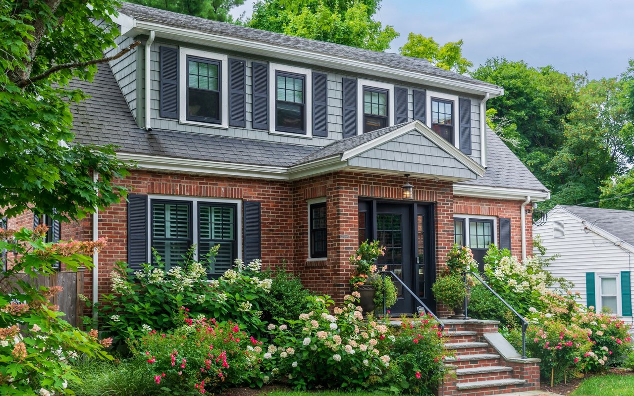
Closer to the city center, buyers will find classic New England two- and three-family homes alongside the newer loft conversions carved out of the old brick shoe factories — a housing type that doesn't exist in most surrounding suburbs. Moving outward into Bradford, Mount Washington, Riverside, and the western villages, the stock shifts toward single-family colonials, capes, and ranches on larger lots, with more recently built homes concentrated in Ward Hill and the outer hill neighborhoods.
Downtown, Dining & Shopping
Downtown Haverhill has become known for its concentration of independent restaurants and bars along the riverfront, an area locals refer to as restaurant row. The Tap Brewing Company occupies a space that has operated as a restaurant since 1897 and pours its own locally made beer from an outdoor deck over the river. Barrio serves riverfront tacos near Harbor Place, while Bosa and its rooftop counterpart, Bosa Bar, anchor The Heights development with river views. Retail and creative space share the same blocks: Opal & Oak is a women's clothing boutique, The Switchboard hosts an artist-in-residence program and studio space, and the Shoe Town Art Center — named for the city's manufacturing history — offers art classes for all ages.
The riverfront itself has been reshaped by a series of public investments, including an extended wooden boardwalk and public boat docks; Plum Island Kayak runs a seasonal kiosk there for kayak and paddleboard rentals. Murals and oversized shoe sculptures throughout downtown's alleys nod to the shoe-manufacturing era, and cultural institutions including the Museum of Printing and the Spotlight Playhouse round out downtown's arts scene.
Parks, Trails & Outdoor Recreation
Few cities Haverhill's size have this much dedicated open space. Winnekenni Park alone covers roughly 700 acres around Kenoza Lake, with more than nine miles of trails for hiking, biking, dog walking, horseback riding, and winter cross-country skiing and snowshoeing (hunting, fishing, and boating are not permitted). At its center sits Winnekenni Castle, built between 1873 and 1875 by Dr. James R. Nichols from local glacial boulders after he was inspired by castles he'd seen in England; the city acquired the property in 1895, making it Haverhill's first public park.
Elsewhere in the city, Grand Army Republic Park is home to the Hannah Duston statue, Lafayette Square carries a 1932 monument to the Marquis de Lafayette, and the Merrimack River waterfront downtown has been upgraded with boardwalks and boat docks. The city also has three golf courses and numerous smaller ponds and lakes scattered across its villages.
Schools & Education
K-12 education is provided by Haverhill Public Schools, and families also have access to Whittier Regional Vocational Technical High School, a trade-focused high school serving Haverhill and neighboring towns, and Hill View Montessori Charter Public School, a K-8 lottery-admission school. Recent and ongoing school construction includes a rebuilt Hunking Middle School in Bradford and a new campus under construction for Dr. A.B. Consentino Middle School.
Haverhill is also a regional higher-education hub: Northern Essex Community College's main campus is located in the city, alongside Northpoint Bible College, and the University of Massachusetts Lowell offers supplementary courses locally.
Getting Around: Transportation & Commute
Haverhill's biggest structural advantage over many of its smaller neighbors is direct rail access to Boston. The MBTA's Haverhill Line runs from Haverhill and Bradford stations to North Station, and the Amtrak Downeaster also stops in Haverhill on its route between Boston and Portland, Maine. By car, Interstate 495 runs through the city with five exits, and state Routes 97, 108, 110, 113, and 125 connect Haverhill to surrounding towns. Six bridges cross the Merrimack River within city limits, including the Bates Bridge, the Comeau Bridge, and the Rocks Village Bridge connecting to West Newbury. MeVa provides local bus service, and regional air travel is accessible through Lawrence Municipal Airport, Manchester–Boston Regional Airport, and Boston Logan International.
Community Life
Haverhill has a genuine civic identity that goes beyond its role as a Boston commuter city. WHAV, the city's community radio station, has been broadcasting locally since 1947 — one of the oldest community stations of its kind. The Haverhill Historical Society, incorporated in 1898, and public-art initiatives across downtown keep the city's manufacturing history visible in everyday life, from preserved factory facades to shoe-themed sculpture and murals in the alleys around Washington Street. The city elected the first socialist mayor in American history in 1898, and today is led by Mayor Melinda Barrett, Haverhill's first female mayor, elected in 2024. Between the riverfront boardwalk, the restaurant-row dining scene, and Winnekenni Park's grounds, there's a steady calendar of outdoor gatherings, farmers' markets, and arts events throughout the warmer months.
How Haverhill Compares to Nearby Towns
Haverhill sits at the urban end of a cluster of smaller, quieter communities that ring it to the south and east, with Newburyport's coastal downtown roughly 20 minutes away. The table below is a general, qualitative comparison — not a market analysis — meant to help buyers decide where to start their search.
COMMUNITY | CHARACTER | BEST FIT FOR |
|---|
Haverhill | Urban core with rail access, converted lofts, Victorian architecture, and the widest range of housing types. | Buyers who want walkability, architectural character, and a train commute to Boston. |
Georgetown | Classic New England small town built around a common, with lower density and larger lots. | Buyers who want quiet, small-town living close to Haverhill's amenities. |
Groveland | Small, residential, and rural in feel, bordering Haverhill directly across the river. | Buyers who want a quiet suburban setting a short hop from downtown Haverhill. |
Merrimac | Small former mill village on the Merrimack River with a tight-knit community feel. | Buyers who want small-town character with river access. |
Newburyport | Coastal seaport with a boutique downtown and historic waterfront. | Buyers prioritizing a coastal lifestyle over space or price. |
Who Haverhill Is Right For
GOOD FIT IF YOU WANT A commute into Boston by train rather than by car. Character and architectural variety — a Victorian, a colonial, or a converted loft — rather than one uniform housing type. Walkable access to restaurants, riverfront space, and arts and culture without leaving the city. Significant outdoor recreation and lake access close to home.
| CONSIDER ELSEWHERE IF YOU WANT The quieter, lower-density feel of a small New England town center. A brand-new construction subdivision as the primary housing option. A coastal setting, which is better served by nearby Newburyport.
|
Frequently Asked Questions
Q. What does “Queen Slipper City” mean?
A. It's Haverhill's historic nickname, earned in the late 1800s and early 1900s when the city was one of the largest shoe-manufacturing centers in the country — at its peak, around one-tenth of all shoes made in the United States came from Haverhill factories.
Q. Is Haverhill considered part of the North Shore or the Merrimack Valley?
A. Both, depending on who you ask. Haverhill sits in the Merrimack Valley along the river of the same name, but its location near Newburyport and the coast means it's often grouped with North Shore communities as well.
Q. What is the commute to Boston actually like?
A. The MBTA Haverhill Line runs from Haverhill and Bradford stations directly to North Station, and Interstate 495 connects the city to the broader highway network for buyers who prefer to drive.
Q. What are the different neighborhoods or villages in Haverhill?
A. The city includes downtown/the Washington Street Shoe District, Bradford, the Highlands, Rocks Village, Mount Washington, Riverside, Ayers Village, and Ward Hill, each with its own character, from urban loft living downtown to the small-village feel of Rocks Village.
Q. Are the downtown “lofts” actually residential, or just historic buildings?
A. They're residential. Many of the former shoe factories along Washington Street and throughout downtown have been converted into loft apartments and condominiums as part of an estimated $150 million revitalization of the district.
Q. What is Winnekenni Park, and is it open to the public?
A. Yes — it's a roughly 700-acre city park surrounding Kenoza Lake, with more than nine miles of trails, along with Winnekenni Castle, a nineteenth-century stone residence the city acquired in 1895 as its first public park.
Q. Does Haverhill have its own commuter rail stop, or do you have to go elsewhere?
A. Haverhill has two MBTA stops within city limits — Haverhill station downtown and Bradford station on the south side of the river.
Q. What school and higher-education options are available?
A. K-12 students attend Haverhill Public Schools, with additional options at Whittier Regional Vocational Technical High School and Hill View Montessori Charter Public School. Northern Essex Community College's main campus and Northpoint Bible College are also located in the city.