NEIGHBORHOOD GUIDE
Georgetown, Massachusetts
A Classic New England Town Center, 28 Miles North of Boston
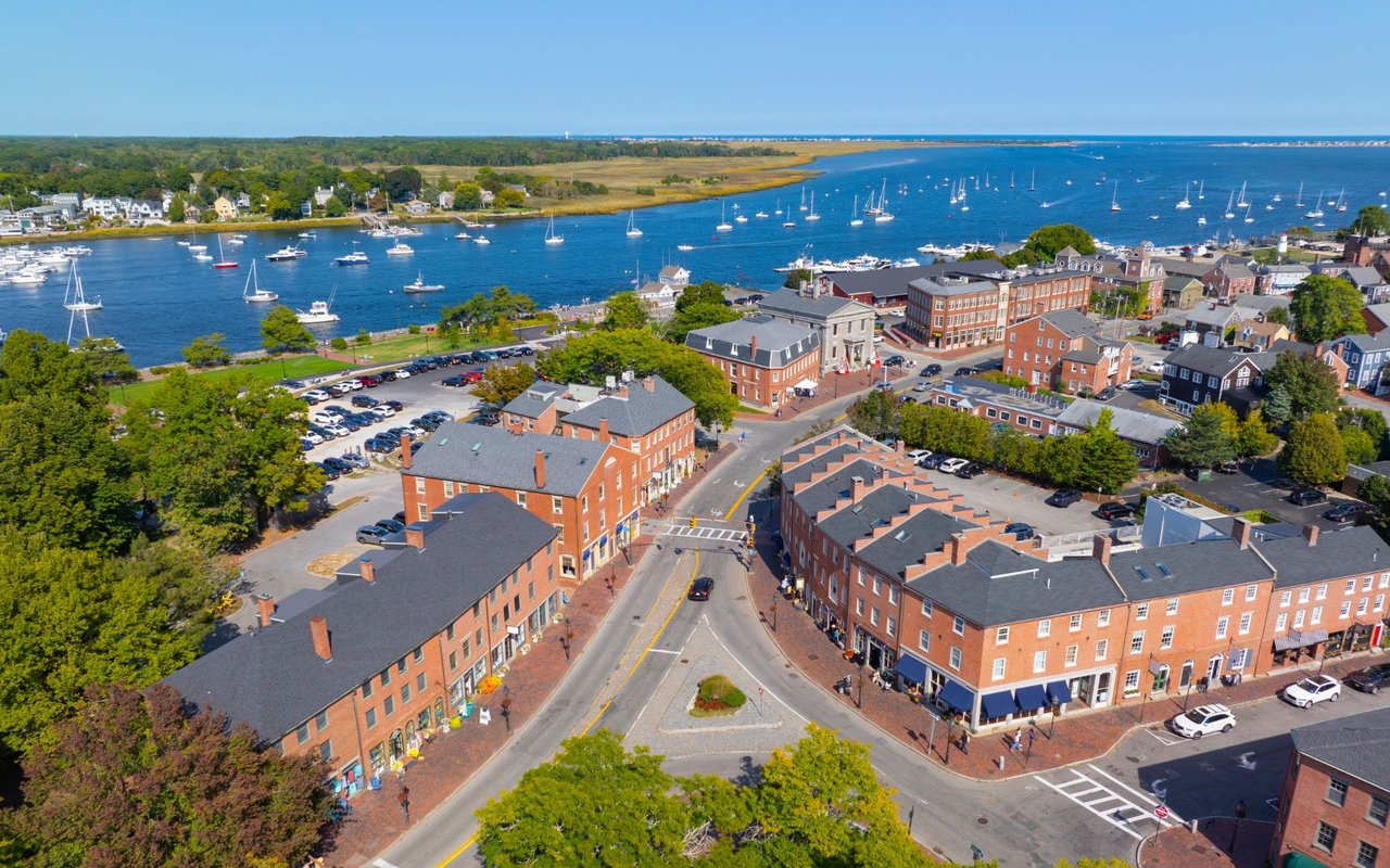
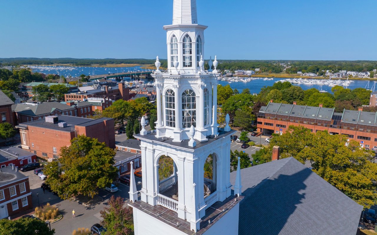
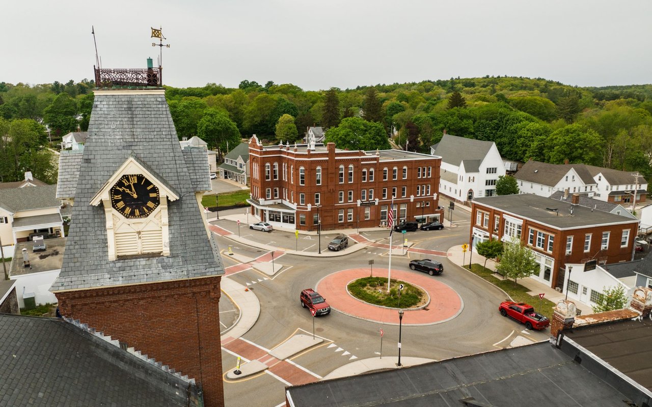
Georgetown is a small town of roughly 8,500 people in Essex County, Massachusetts, built around a classic New England town common and framed on two sides by protected state forest. Where Haverhill offers urban density and a working riverfront, Georgetown offers the opposite: a quiet, low-density residential community with its own dedicated school system, a walkable town center anchored by the First Congregational Church spire, and immediate access to I-95 for commuters heading toward the North Shore or Boston. For buyers who want small-town New England living without leaving easy reach of Haverhill's downtown and rail line, Georgetown is usually the first place they look.
Georgetown at a Glance
Georgetown sits in Essex County about 28 miles north of Boston, 10 miles east of Lawrence, and 11 miles south-southwest of Newburyport. The town covers 13.2 square miles, nearly all of it land, and its landscape is defined by streams, brooks, and two major ponds, Rock Pond and Pentucket Pond. Large tracts of protected land border the town on multiple sides: the Georgetown-Rowley State Forest to the south, the Crane Pond Wildlife Management Area to the north, and portions of the Boxford State Forest nearby.
Georgetown borders Haverhill and Groveland to the north, Boxford to the south, and Rowley and Newbury toward the coast. It's best described as a distant, low-density suburb of Boston's North Shore — residential in character, with its own town government and its own public school system rather than a regional district.
QUICK FACTS
County | Essex County, Massachusetts |
Incorporated | 1838 (settled 1639 as part of Rowley, known as New Rowley) |
Population (2020 Census) | 8,470 |
Land & water area | 13.2 sq. mi. total (12.9 land, 0.31 water) |
Distance to Boston | About 28 miles |
Major highways | I-95 (one exit at Route 133); Routes 133 and 97 |
Nearest commuter rail | Rowley station, MBTA Newburyport/Rockport Line |
School district | Georgetown Public Schools (Penn Brook Elementary; Georgetown Middle-High School) |
Protected land | Georgetown-Rowley State Forest; Crane Pond Wildlife Management Area |
Signature ponds | Rock Pond; Pentucket Pond |
Neighboring communities | Haverhill, Groveland, Boxford, Rowley, and Newbury |
WHY BUYERS CHOOSE GEORGETOWN A genuinely small-town New England feel, with a walkable center anchored by the First Congregational Church and the Georgetown Peabody Library. Large tracts of protected forest and wetland bordering the town on two sides, including Georgetown-Rowley State Forest and the Crane Pond Wildlife Management Area. Its own dedicated public school system, from elementary through high school, rather than a regional district shared with other towns. A quieter, lower-density alternative to Haverhill while still sitting minutes from its downtown, rail line, and highway access. Direct access to I-95 for commuters heading toward the North Shore or south toward Boston. A literary and small-town pedigree that includes novelist John Updike, who lived in Georgetown, and Pulitzer Prize winner Paul Harding.
|
A Brief History
Georgetown's roots trace to 1639, when the area was settled as part of Rowley under Reverend Ezekiel Rogers. The western section of that settlement, drawn by the meadowlands along Penn Brook, became known informally as New Rowley. By 1838 the settlement had grown large enough to incorporate as its own town, and it was renamed Georgetown.
The town's civic history includes the Erie 4 Fire Company, recognized as the oldest privately owned and operated volunteer fire company in America, and “Old Nancy,” a Revolutionary War-era cannon still displayed at Town Hall. Georgetown's historic houses and Union Cemetery reflect the town's nineteenth-century growth, while more recent development has filled in around the original town center as the North Shore's suburban ring expanded outward from Boston.
Town Center & Surrounding Areas
Georgetown doesn't carry the same collection of named historic villages as some of its neighbors — its character is organized around one true center, with the surrounding land largely residential and rural.
Georgetown Center — The town's civic and commercial heart, marked by the First Congregational Church spire, Town Hall, and the Georgetown Peabody Library. This is the most walkable part of town and the closest thing Georgetown has to a downtown.
Around Rock Pond & Pentucket Pond — Residential streets near the town's two major ponds, popular for their water access and quieter, more rural feel.
The State Forest Edges — Neighborhoods bordering the Georgetown-Rowley State Forest to the south and the Crane Pond Wildlife Management Area to the north tend to sit on larger lots, with immediate access to trails and conservation land.
Architecture & Housing Styles
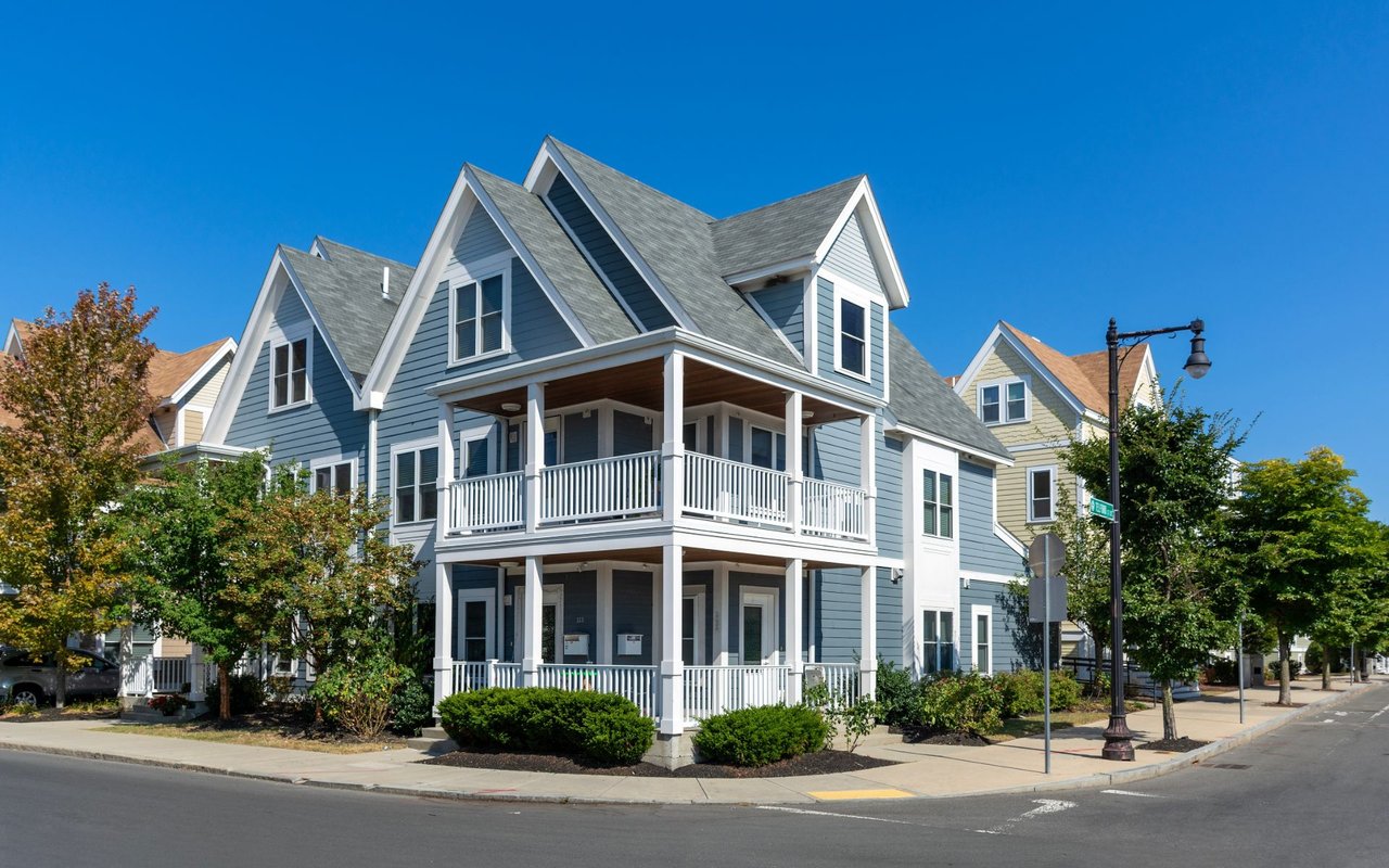
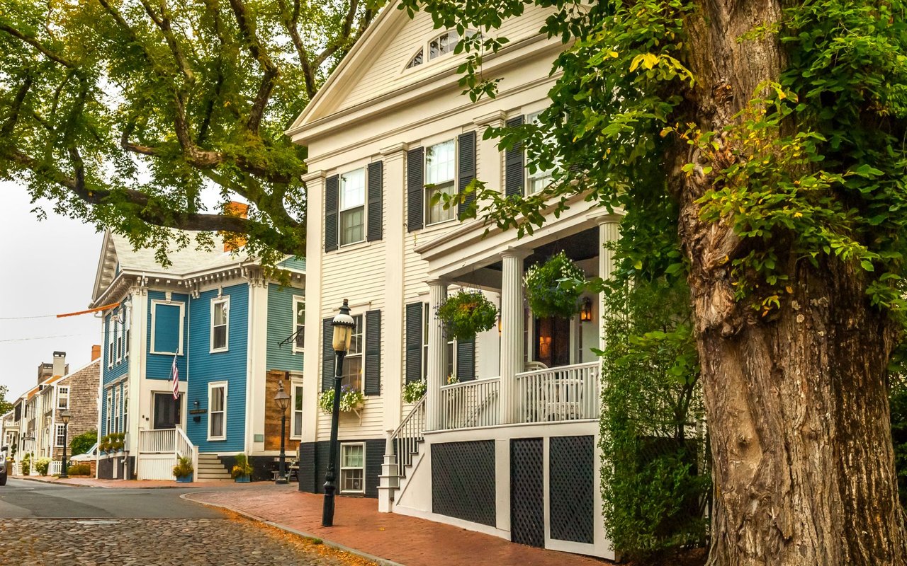
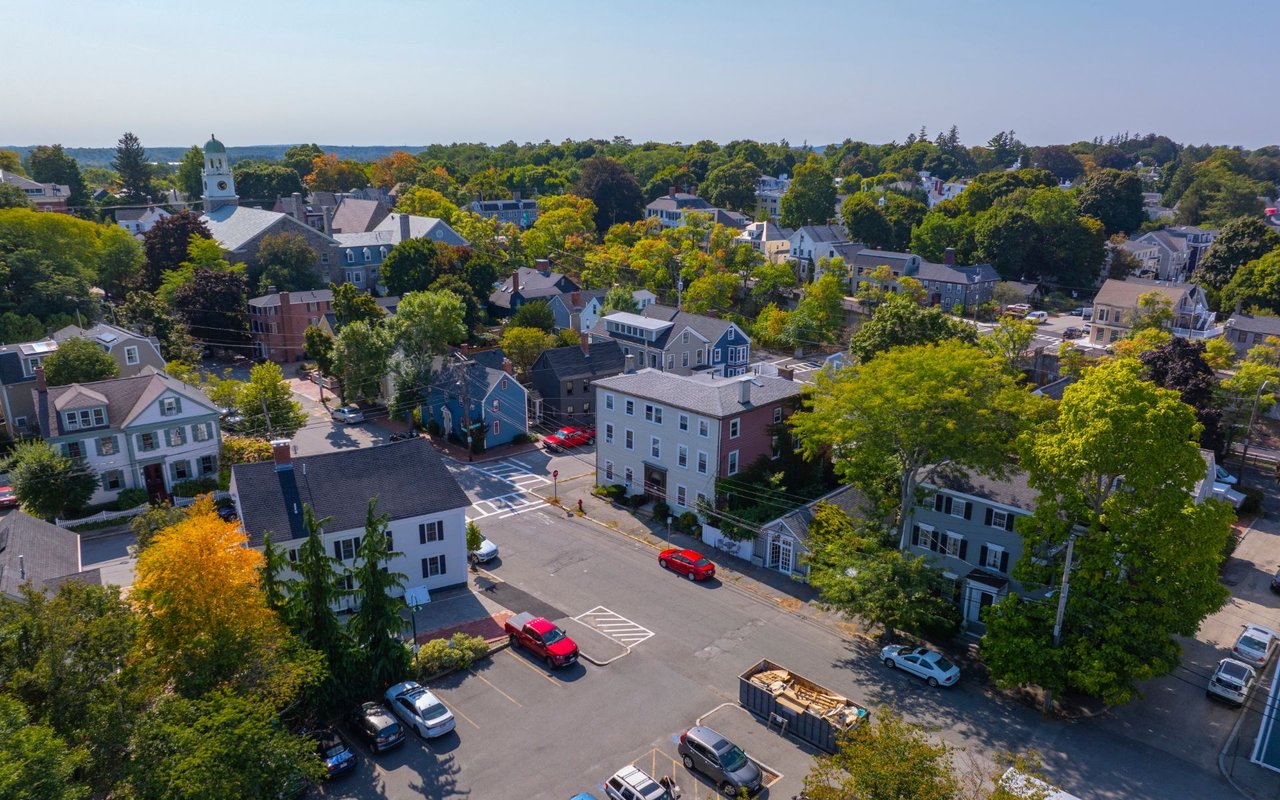
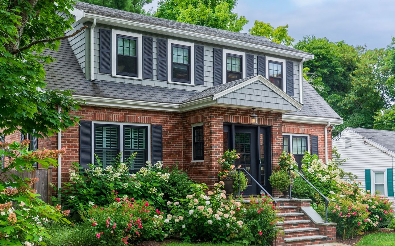
Georgetown's housing stock reflects its evolution from a nineteenth-century agricultural village into a twentieth-century Boston suburb. The town center holds a cluster of older homes from the era around the 1838 incorporation, while the broader town is largely built out with single-family homes from the postwar suburban expansion through more recent decades. Lots tend to be larger than in Haverhill's urban core, particularly near the state forest and pond frontage, reflecting the town's consistently low-density, residential character.
Parks, Conservation Land & Recreation
Georgetown is unusually well-supplied with protected open space for its size. The Georgetown-Rowley State Forest runs along the town's southern edge, the Crane Pond Wildlife Management Area occupies land to the north, and portions of the Boxford State Forest are also nearby. Rock Pond and Pentucket Pond provide additional recreation close to home, and Camp Leslie on Pentucket Pond has even served as a filming location, appearing in the 2008 feature film “The Women.”
Schools & Education
Georgetown runs its own municipal school district rather than a regional one: Penn Brook Elementary School serves preschool through grade five, and Georgetown Middle-High School serves grades six through twelve. The high school's teams, nicknamed the Knights, compete in the Cape Ann League's Small School division.
Getting Around: Transportation & Commute
Georgetown does not have its own commuter rail stop — the nearest MBTA station is in neighboring Rowley on the Newburyport/Rockport Line. For drivers, Interstate 95 crosses the eastern half of town with one exit at Route 133, and Routes 133 and 97 provide the main east-west and north-south routes through town. Buyers who want rail access directly in town typically look instead at Haverhill or Bradford.
Community Life
Georgetown is a residential, family-oriented town — roughly four in ten households include children under 18 — with community life centered on the town common, the Georgetown Peabody Library, and its schools. The town's most distinctive civic institution is the Erie 4 Fire Company, and Town Hall's Revolutionary War cannon is a well-known local landmark. Notable past and present residents include novelist John Updike, Pulitzer Prize-winning author Paul Harding, Olympic swimmer Jenny Thompson, and NFL quarterback Brian St. Pierre.
How Georgetown Compares to Nearby Towns
Georgetown sits among a cluster of small Essex County towns just south and east of Haverhill. The table below is a general, qualitative comparison — not a market analysis — meant to help buyers decide where to start their search.
COMMUNITY | CHARACTER | BEST FIT FOR |
|---|
Georgetown | Classic New England small town built around a common, with lower density, larger lots, and its own school system. | Buyers who want quiet, small-town living close to Haverhill's amenities and I-95 access. |
Haverhill | Urban core with rail access, converted lofts, Victorian architecture, and the widest range of housing types. | Buyers who want walkability, architectural character, and a train commute to Boston. |
Groveland | Small, residential, and rural in feel, with a village center at Elm Park and direct river frontage. | Buyers who want a quiet setting with river access close to Haverhill. |
Merrimac | Small former mill village on the Merrimack River with a tight-knit community feel. | Buyers who want small-town character with river access. |
Newburyport | Coastal seaport with a boutique downtown and historic waterfront. | Buyers prioritizing a coastal lifestyle over space or price. |
Who Georgetown Is Right For
GOOD FIT IF YOU WANT A quiet, low-density New England town rather than an urban center. A town with its own dedicated public school system, from elementary through high school. Larger residential lots and proximity to protected forest and conservation land. Easy highway access to I-95 without needing a commuter rail stop in town.
| CONSIDER ELSEWHERE IF YOU WANT A walkable downtown with restaurants, shops, and nightlife within town limits. A commuter rail stop located directly in your own town. A coastal or riverfront setting, better served by Newburyport or Groveland.
|
Frequently Asked Questions
Q. What was Georgetown called before it became its own town?
A. The area was originally settled in 1639 as part of Rowley and was known informally as New Rowley before Georgetown incorporated as an independent town in 1838.
Q. Is there a commuter rail stop in Georgetown?
A. No — the nearest MBTA stop is in neighboring Rowley, on the Newburyport/Rockport Line. Buyers who want a rail stop directly in town typically look at Haverhill or Bradford instead.
Q. What is the Erie 4 Fire Company?
A. It's Georgetown's historic volunteer fire company, recognized as the oldest privately owned and operated volunteer fire company in America — a well-known point of local civic pride.
Q. Does Georgetown have a lot of protected land or trails?
A. Yes. The town borders the Georgetown-Rowley State Forest to the south and the Crane Pond Wildlife Management Area to the north, with portions of the Boxford State Forest also nearby.
Q. What school district serves Georgetown?
A. Georgetown runs its own public school system rather than a regional district: Penn Brook Elementary School (preschool–5) and Georgetown Middle-High School (6–12).
Q. How does Georgetown compare to Haverhill?
A. Georgetown is smaller, quieter, and lower-density, with larger lots and no downtown commercial core to speak of. Haverhill offers a genuine downtown, rail access, and a wider range of housing types, all a short drive away.
Q. Are there any notable people from Georgetown?
A. Novelist John Updike lived in Georgetown for several years, and Pulitzer Prize-winning author Paul Harding has ties to the town as well, alongside Olympic swimmer Jenny Thompson and NFL quarterback Brian St. Pierre.